SLR-NA 291 Zelaiaundi Trail: The Enchanted Beech Forest

 Back
Back 

Route data
APARCAMIENTO CENTRO VISITANTES
APARCAMIENTO CENTRO VISITANTES

Distance
7.9 Km
Circular route

Difficulty
Easy

Max. elevation
300 m.

Max. elevation
300 m.
Weather forecast
Olazagutía
 18°C
18°CReal feel 18°
overcast clouds
-
Tue
22/09
23° /15°
 36%
36%
-
Wed
23/09
25° /16°
37%
-
Thu
24/09
31° /20°
23%
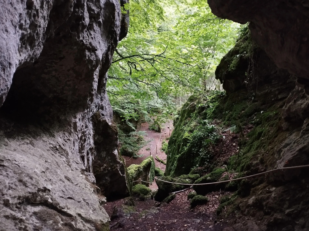
A trail through mature beech woodland and limestone boulders, past shepherds' huts and charcoal burners' shelters with rich biodiversity and archaeological remains.
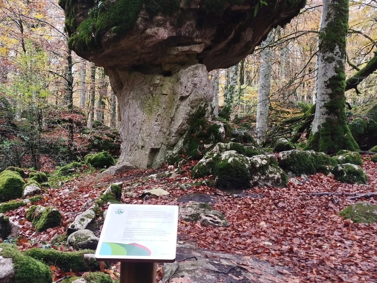
This trail climbs to the northern edge of the Natural Park, looking out over the Barranca Valley opposite Altsasu/Alsasua, through a unique landscape of mature beech woodland and large scattered limestone boulders.
The route passes through the lower shepherds' sheepfold and an area once used by charcoal burners evidenced by the surviving shepherd's hut and charcoal burner's shelter.
Features include:
- Archaeological and ethnographic heritage: shepherd's hut, old quarry, timber-hauling wagon, megalithic burial mounds and charcoal kiln
- Biodiversity: beech forest, deadwood, free-ranging livestock, amphibian pond, various scrub and pasture habitats, and more.
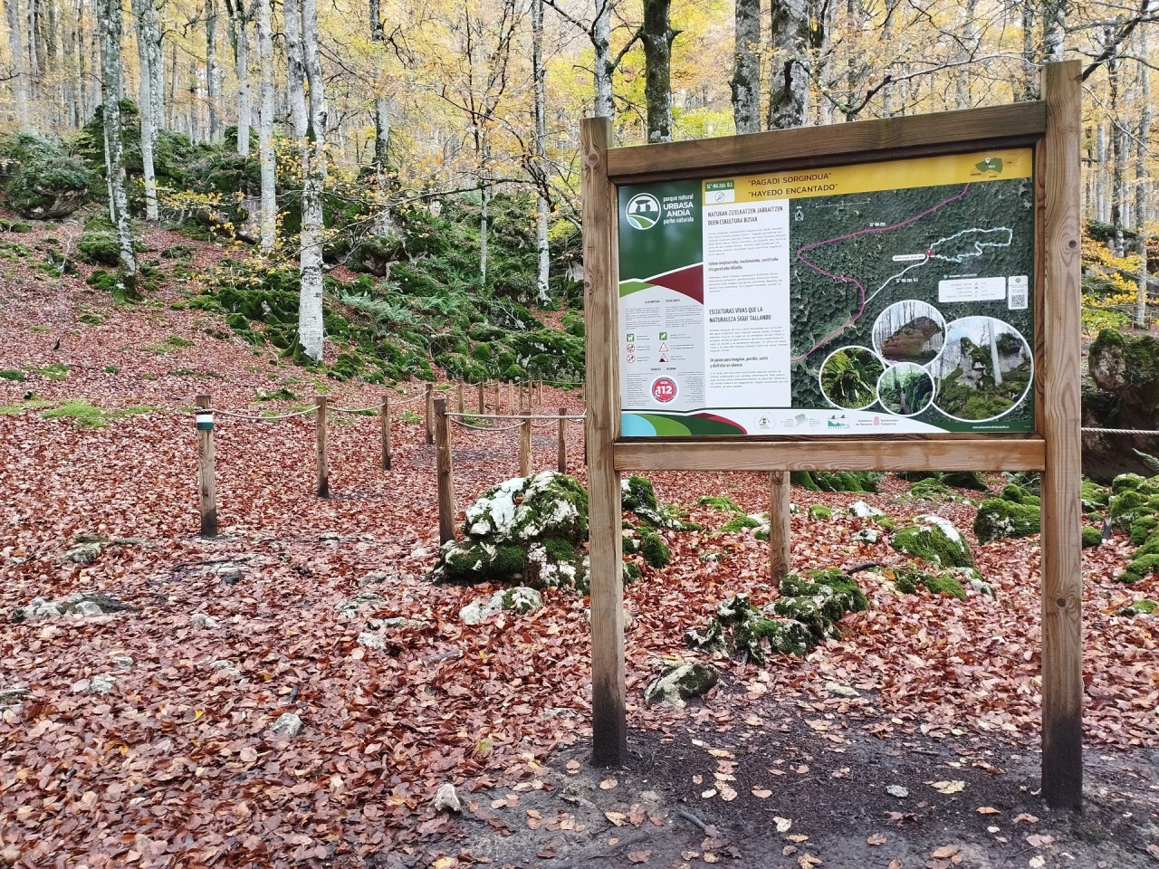
ENCHANTED BEECH FOREST: The first section of this trail leads to the so-called Enchanted Beech Forest (SL®-NA 291 D.1): a 4.7 km round trip taking approximately 1 hour 30 minutes.
The route passes through the lower shepherds' sheepfold and an area once used by charcoal burners evidenced by the surviving shepherd's hut and charcoal burner's shelter.
Features include:
- Archaeological and ethnographic heritage: shepherd's hut, old quarry, timber-hauling wagon, megalithic burial mounds and charcoal kiln
- Biodiversity: beech forest, deadwood, free-ranging livestock, amphibian pond, various scrub and pasture habitats, and more.
ENCHANTED BEECH FOREST: The first section of this trail leads to the so-called Enchanted Beech Forest (SL®-NA 291 D.1): a 4.7 km round trip taking approximately 1 hour 30 minutes.
Weather forecast
Olazagutía
18°CReal feel 18°C
overcast clouds
-
Tue
22/0923° /15°
36%
-
Wed
23/0925° /16°
37%
-
Thu
24/0931° /20°
23%