Hike to the San Miguel de Aralar Sanctuary

 Back
Back 

Route data
Uharte-Arakil, junto al puente sobre el rio Arakil
Uharte-Arakil, junto al puente sobre el rio Arakil

Distance
11.4 Km
Lineal route

Difficulty
Difficult

Max. elevation
770 m.

Max. elevation
770 m.
Weather forecast
Arruazu
 16°C
16°CReal feel 16°
overcast clouds
-
Tue
22/09
21° /13°
 39%
39%
-
Wed
23/09
23° /15°
37%
-
Thu
24/09
30° /19°
25%
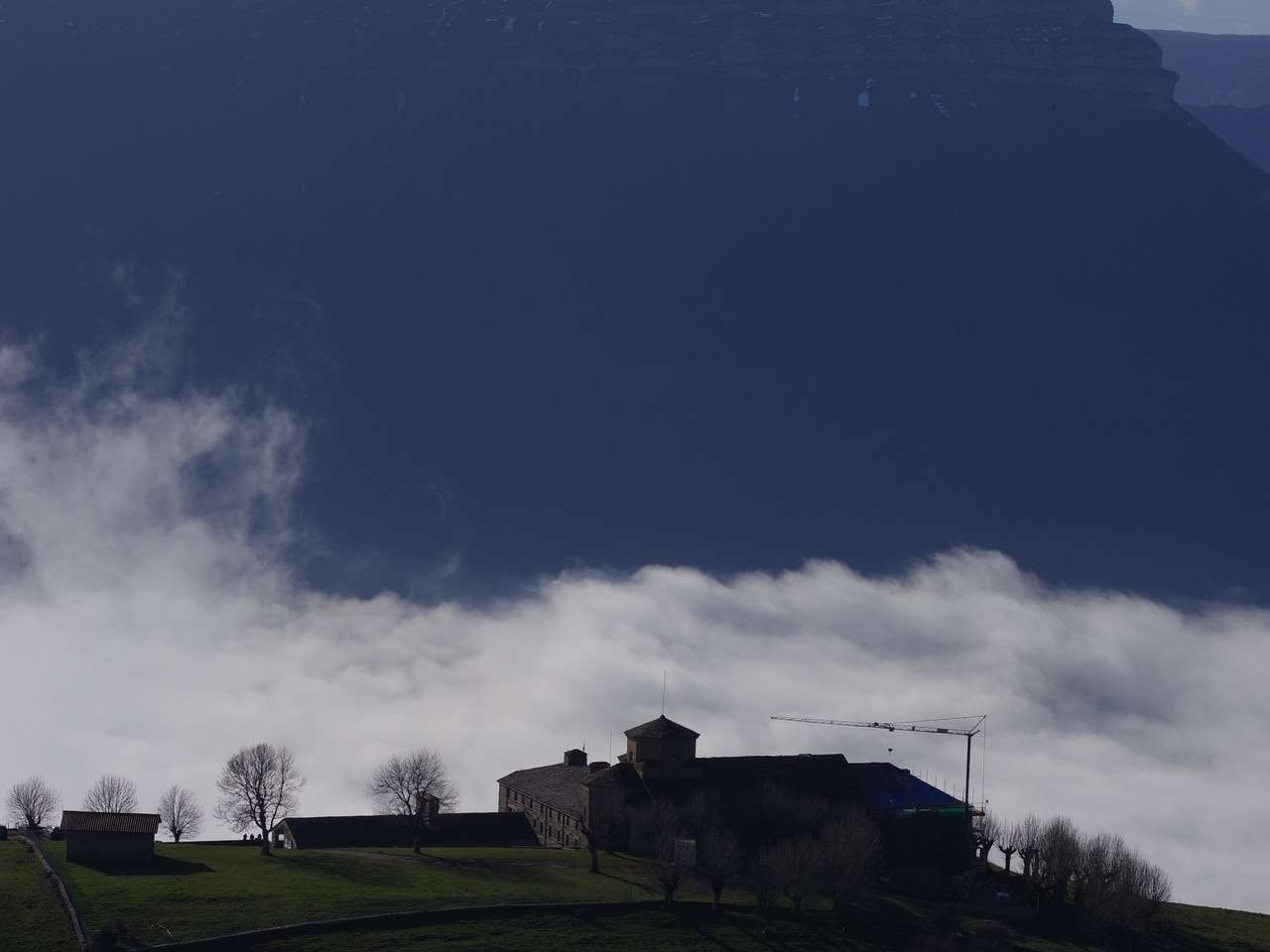
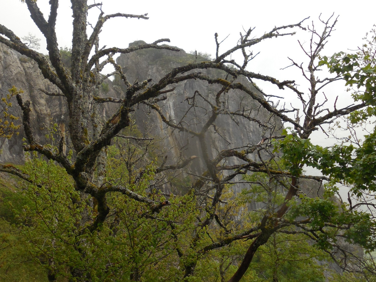
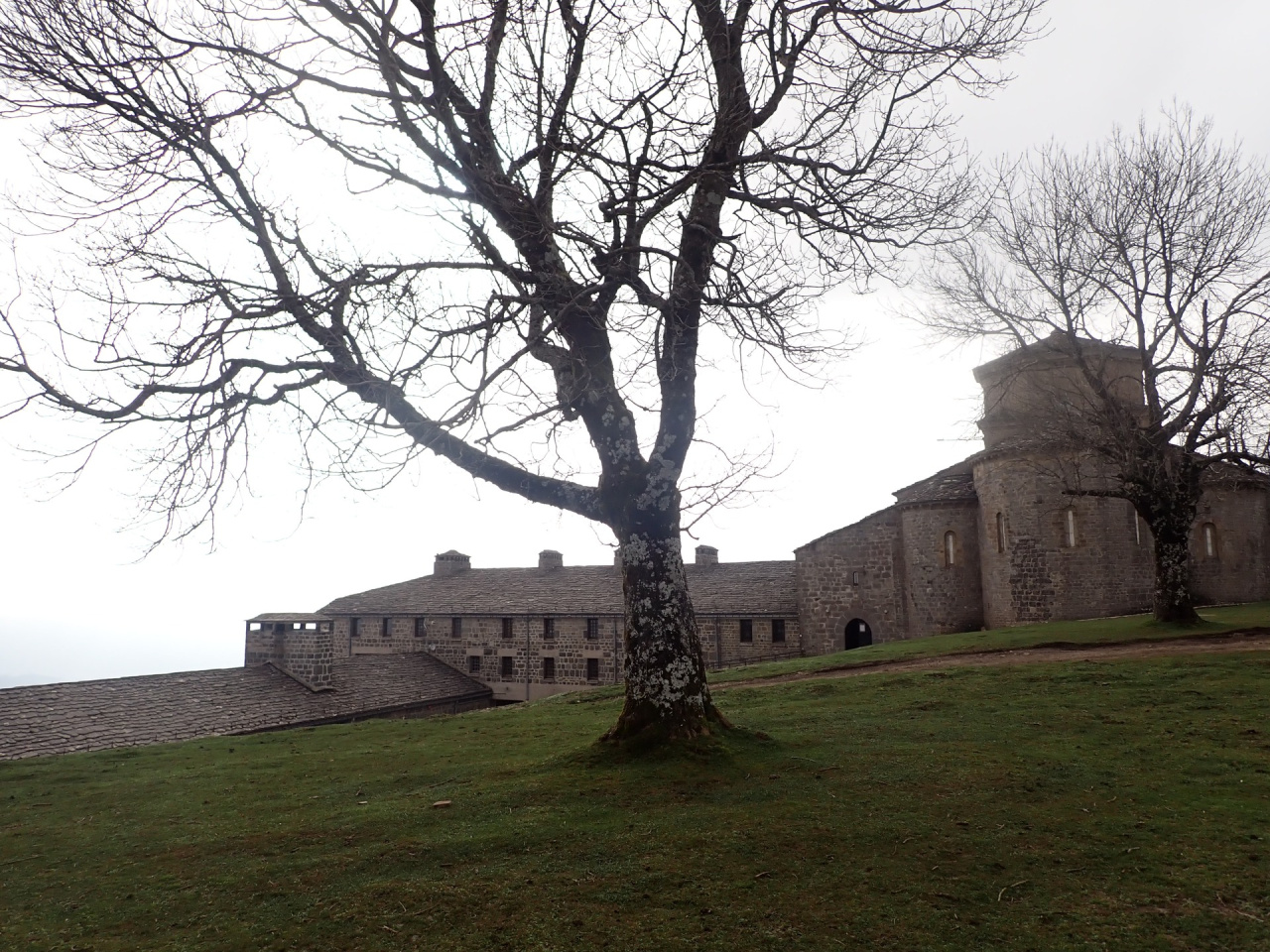
A linear trail with prehistoric dolmens, Roman ruins and Romanesque buildings spectacular views and rich history throughout.
A linear out-and-back trail offering a journey through different historical periods: prehistoric dolmens, Roman ruins at Zamartze, and two Romanesque buildings on the original Way of St James that passed through Sakana. A traditional route with spectacular views.
Start: Uharte-Arakil, by the bridge over the River Arakil. The route coincides with the GR-282 Senda del Pastoreo and connects with the GR-20 Vuelta a Aralar. Slippery descent in wet conditions.
Start: Uharte-Arakil, by the bridge over the River Arakil. The route coincides with the GR-282 Senda del Pastoreo and connects with the GR-20 Vuelta a Aralar. Slippery descent in wet conditions.
Weather forecast
Arruazu
16°CReal feel 16°C
overcast clouds
-
Tue
22/0921° /13°
39%
-
Wed
23/0923° /15°
37%
-
Thu
24/0930° /19°
25%