Download Itzulia

 Back
Back 

Route data
Eguarats
Eguarats

Distance
3.6 Km
Circular route

Difficulty
Very easy

Max. elevation
190 m.

Max. elevation
190 m.
Weather forecast
Aróstegui
 20°C
20°CReal feel 19°
overcast clouds
-
Tue
22/09
24° /16°
 40%
40%
-
Wed
23/09
23° /15°
42%
-
Thu
24/09
30° /19°
24%
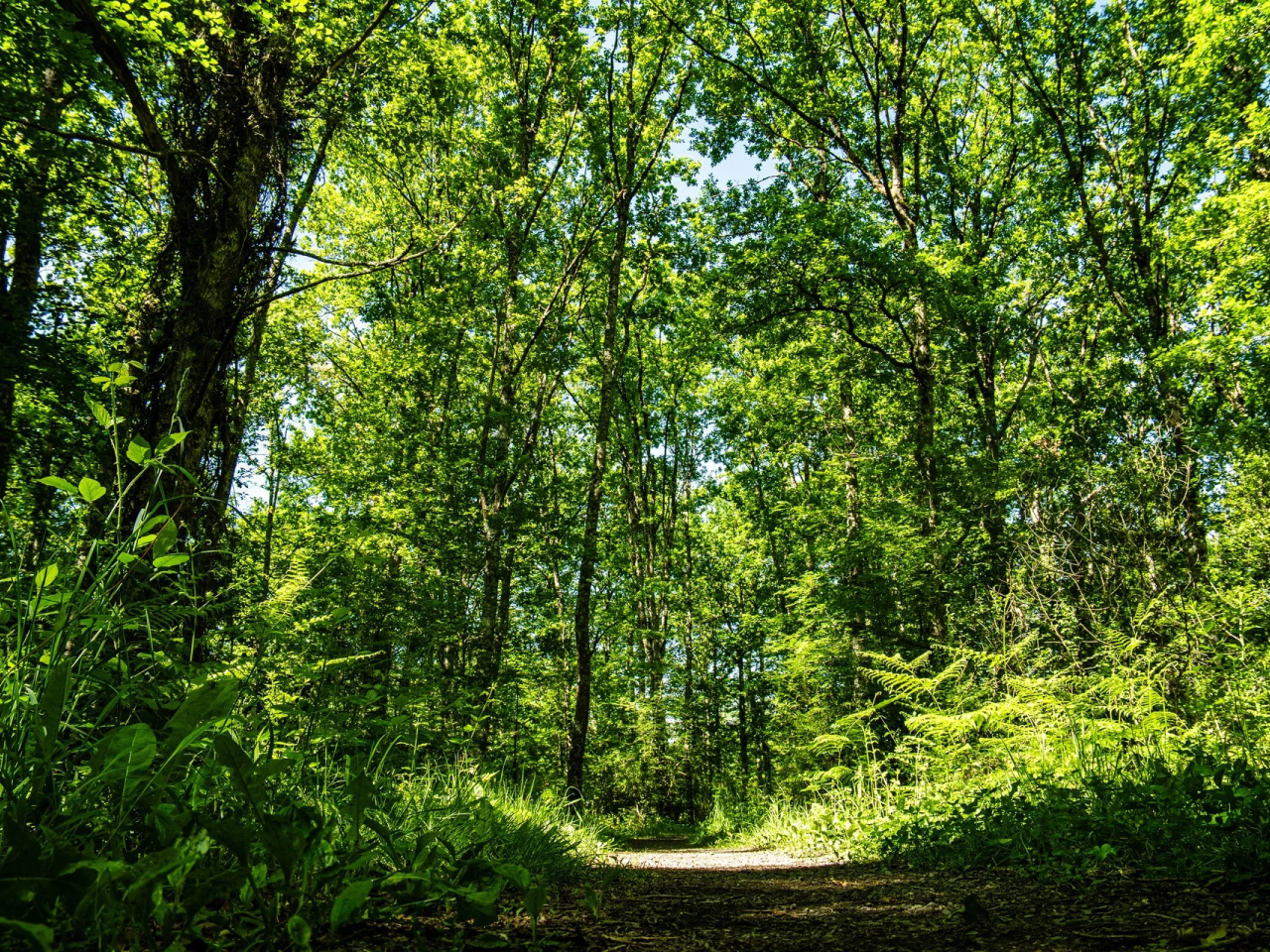
An easy circular route along historic paths ideal for exploring the social and livestock routes that connected the area, with views close to the Baixar pass.
Starting from Eguarats, this route follows historic paths long used for social movement, livestock droving and everyday travel. It climbs towards the Baixar pass before looping back to the starting point an easy, rewarding circular walk.
Weather forecast
Aróstegui
20°CReal feel 19°C
overcast clouds
-
Tue
22/0924° /16°
40%
-
Wed
23/0923° /15°
42%
-
Thu
24/0930° /19°
24%